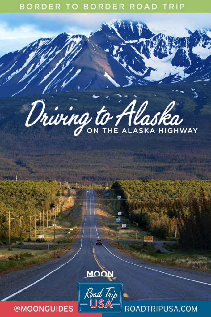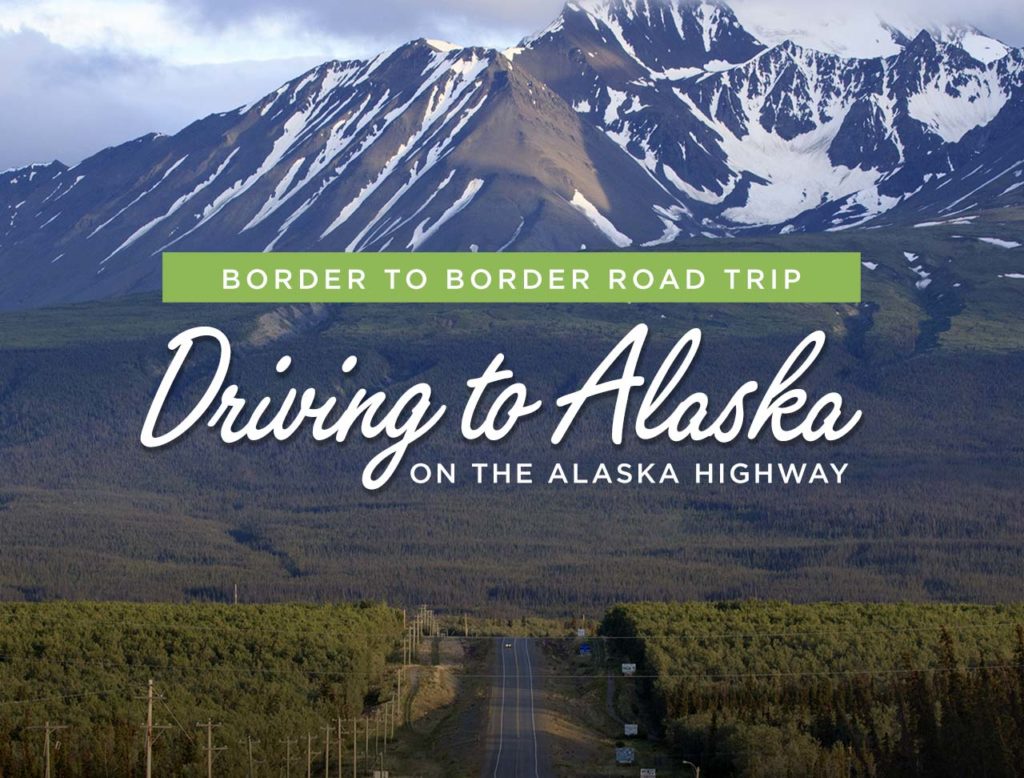
Driving to Alaska along the Alaska Highway
The Canadian Rockies are farther north than anything else in Road Trip USA, but for indefatigable adventurers there’s at least one additional destination: Alaska, “The Last Frontier.” Driving to Alaska is no small feat. It’s roughly 1,900 miles from Jasper National Park to Anchorage, via the legendary Alaska Highway. For comparison, that’s only two hundred miles longer than driving the full length of the popular Pacific Coast route from the border of Mexico to Seattle, Washington!
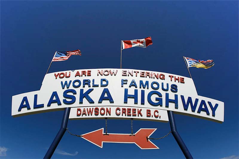
Beginning at the oil- and gas-producing center of Dawson Creek (no connection with the TV show) in British Columbia, the Alaska Highway was constructed in 1942, in just nine months, an amazing engineering feat fueled by fears of a Japanese invasion during World War II. Much improved in the years since, it’s now paved all the way but is still quite an adventure, with endless miles (and miles, and miles) of forests, rivers, and mountains.
If you’ve decided you’re driving to Alaska, plan ahead carefully. Gas stations may have limited hours, while amenities and lodging are often few and far between. A travel guide like Moon British Columbia: Including the Alaska Highway can help. Keep a lookout for a few places you won’t want to miss. One of these is roughly midway, in Watson Lake, right on the British Columbia-Yukon border and right along the highway: the world-famous Sign Post Forest, a collection of city limits signs from around the globe.
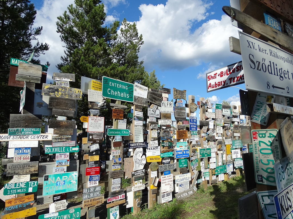
The “forest” was started in 1942 by Carl Lindley, a U.S. soldier working to build the highway. When ordered to fix an official road sign, he added another of his own making, pointing the way and the distance to his home in Danville, Illinois. Others followed his lead and, over the years, have added sign upon sign to create the current collection, which at last count totaled in excess of 100,000. The Sign Post Forest earned notoriety in 2009 when it was featured on a Canadian postage stamp.
In the middle of the Sign Post Forest is the helpful Visitor Interpretive Centre (867/536-7469, daily 8am-8pm summer) with practical information and historical exhibits.
To help start map out your route: The Alaska Highway is primarily comprised of Highway 97 in British Columbia, Highway 1 in Yukon Territory, and Alaska’s Route 2. Nearby national parks include Canada’s Jasper National Park in Alberta, Kluane National Park in Yukon, and Alaska’s Denali National Park.
If you make the drive, let us know on Instagram or Facebook by using #TravelWithMoon.
Travel Guides for Driving to Alaska