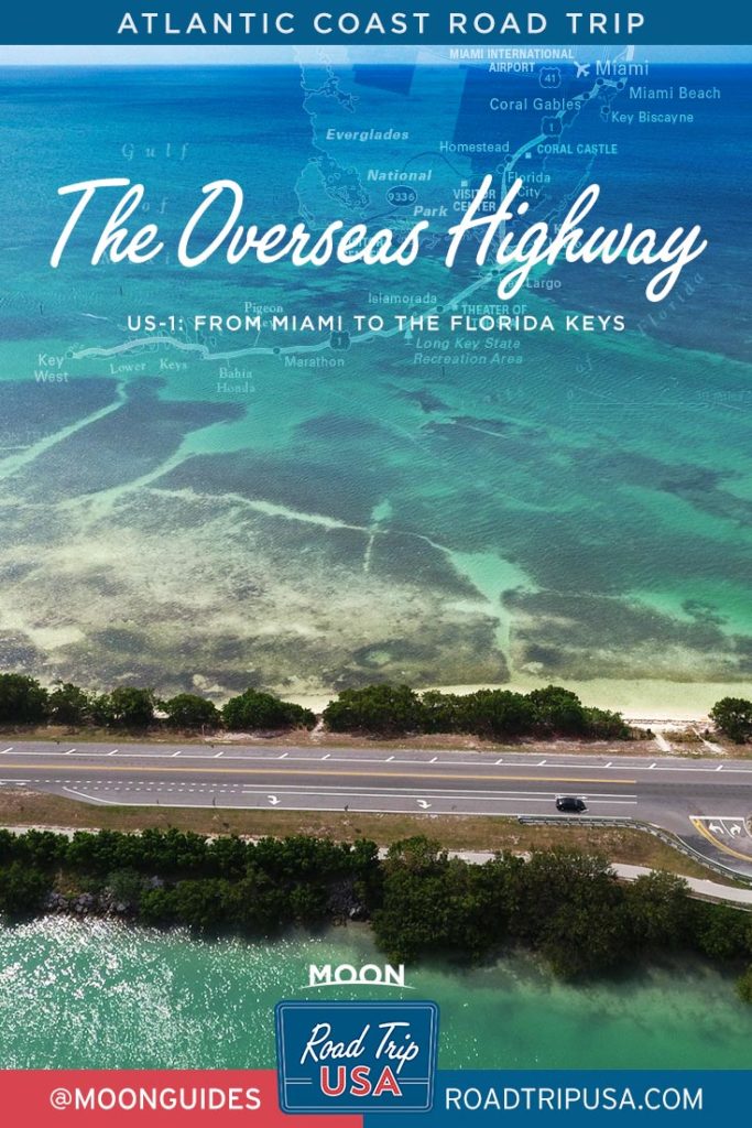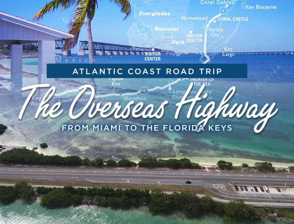
The Overseas Highway: Miami to the Florida Keys
Imagine a narrow ribbon of asphalt and concrete hovering between emerald seas and azure blue skies, and lined by swaying palm trees and gorgeous, white-sand beaches. Add a generous taste of exotic wildlife, including alligators and dolphins; the country’s only tropical coral reefs; and a romantic history rich with tales of buccaneering pirates and buried treasure. Hang it off the far southern tip of Florida, and you have the Overseas Highway, one of the country’s most fascinating scenic drives.
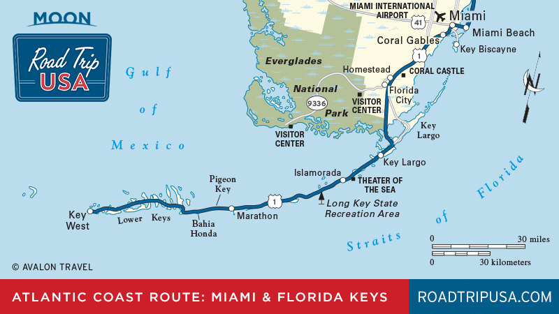
How long is the Overseas Highway?
The Overseas Highway runs for over 125 miles from the Everglades to the edge of the Caribbean. It is the southernmost section of US-1, the historic route that winds for over 2,400 miles along the full length of the East Coast.
How was the Overseas Highway built?
From its very inception, the Overseas Highway has been unique. It was built on top of the legendary Florida and East Coast Railroad, which at the turn of the 20th century linked the great resort hotels of St. Augustine and Palm Beach with Key West and Cuba. An engineering masterpiece, the railroad cost $50 million and hundreds of lives to complete in 1912, but it lasted only two decades before the century’s most powerful hurricane destroyed the tracks in September 1935. The state of Florida bought the remnants of the railroad for $650,000 and proceeded to convert it into a two-lane highway, the Overseas Highway, which opened to traffic in 1938. Most of the old road has since been superseded by a more modern highway, but many old bridges and causeways still stand as evocative remnants of an earlier era.
What is the Overseas Highway like today?
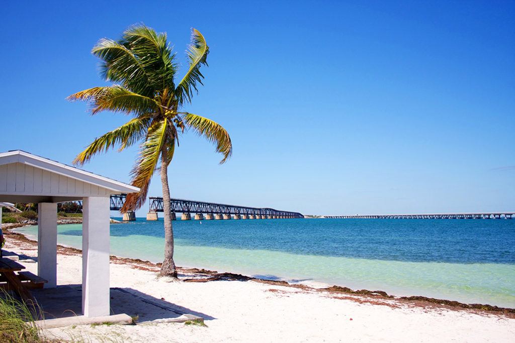
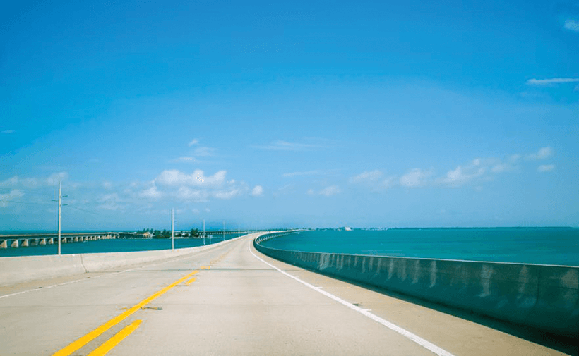
As in much of Florida, ramshackle roadside development has uglified much of the route—in the larger keys towns, like Key Largo, Islamorada, and Marathon, signs hawking restaurants, motels, and snorkel tours are more common than pelicans—but you can’t help but be hypnotized by the scenic beauty of what pockets of nature still remain. Many of the best views are from the road itself, and specifically from the bridges, such as the Long Key Bridge and soaring Seven Mile Bridge, which run north and south of Marathon. Two state parks, John Pennecamp on Key Largo and Bahia Honda in the Lower Keys, offer a respite from the commercialism, and all along the Overseas Highways, unmarked roads and driveways lead across the narrow keys down to the waterside, where all manner of sportfishing marinas and Margaritaville-type bars give you another outlook on the true “key experience.”
How long does it take to drive the Overseas Highway?
All the way along the Overseas Highway (US-1), the roadside is lined by milemarker (MM) posts counting down the miles from Florida City to Key West, starting at MM 127 and ending up at MM 0; addresses usually make reference to these numbers. Though it’s only about 160 miles, be sure to allow at least four hours for the drive between Miami and Key West—plus however many hours you manage to spend out of the car, of course.
Check out the Florida section of our Atlantic Coast Road Trip (the full route begins at the Statue of Liberty) for more stops along the Overseas Highway.
Florida Travel Guides