Scenic Drives in Great Smoky Mountains National Park
By Moon Great Smoky Mountains National Park author Jason Frye
From Newfound Gap Road to Balsam Mountain Road, drive through some of the best scenic routes Great Smoky Mountains National Park has to offer and be sure make stops along the way to take in some breathtaking views.
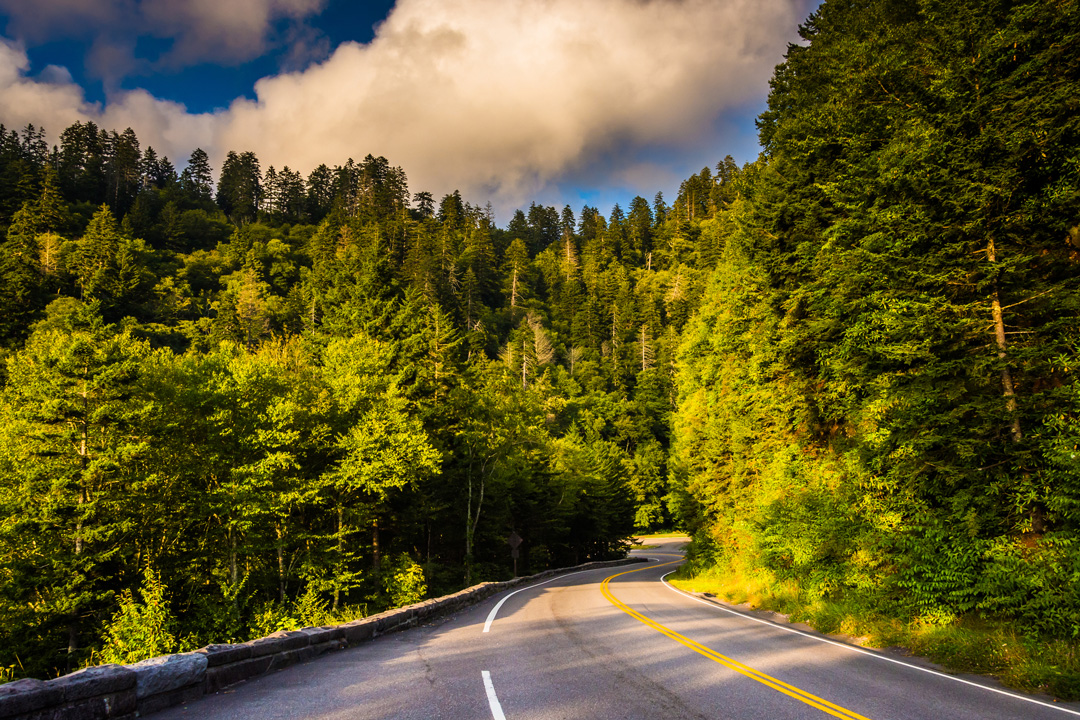
Newfound Gap Road
33 Miles
While many visitors use this 33-mile road that bisects Great Smoky Mountains National Park as a mere thruway, it’s actually one of the prettiest drives you’ll find anywhere. This curvy road alternates between exposed and tree-enclosed, and a number of scenic overlooks provide spectacular views of the Smokies. Stop at one that has a trail (more than half of them do) and take a short walk into the woods, or eat a picnic lunch at one of the mountainside overlooks. Whatever you do on this road between Cherokee and Gatlinburg, take your time and enjoy the ride.
Cades Cove Loop
11 Miles
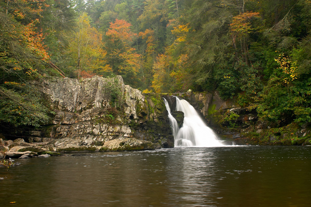
This 11-mile loop around a broad and picturesque valley ringed by high peaks is about as pretty as it gets. The fields, forests, those high peaks, wildlife, and historic structures are just some of the highlights the Cades Cove Loop (closed to vehicles until 10am Wed.-Sat. May-Sept.). One of the most popular spots in the park in any season, expect crowds, especially in the fall. To avoid the crowds, show up early. Hikes include gentle strolls to homesteads, cabins, and churches, or longer hikes to Abrams Falls. The road is paved, and very well maintained, and although it’s one-way, there are two points where you can cut across the valley to shorten the drive or circle back for one more look, whichever strikes your fancy.
Rich Mountain Road
8 Miles
Rich Mountain Road (open Apr.-Nov.) is a photographer’s dream. Running north from Cades Cove over Rich Mountain to Tuckaleechee Cove and Townsend, this one-way gravel road provides a few stunning views of Cades Cove and Tuckaleechee Cove. You’re likely to see bears, deer, turkeys, and other wildlife along the way. The road is typically in good condition and isn’t too challenging as far as backroads go, but I’d avoid tackling this drive in a low-clearance vehicle or your economy rental car; instead, go with a truck or SUV (no 4WD necessary). Know that the road gets a little steep once it passes outside park boundaries, but it’s nothing too hair-raising.
If you’re stuck with a rental or you aren’t confident in your off-road driving abilities, you can always enjoy similar views on the 8.5-mile Rich Mountain Loop hike, a great way to see Cades Cove without the high-season gridlock.
Heintooga Round Bottom Road/Balsam Mountain Road
14 Miles
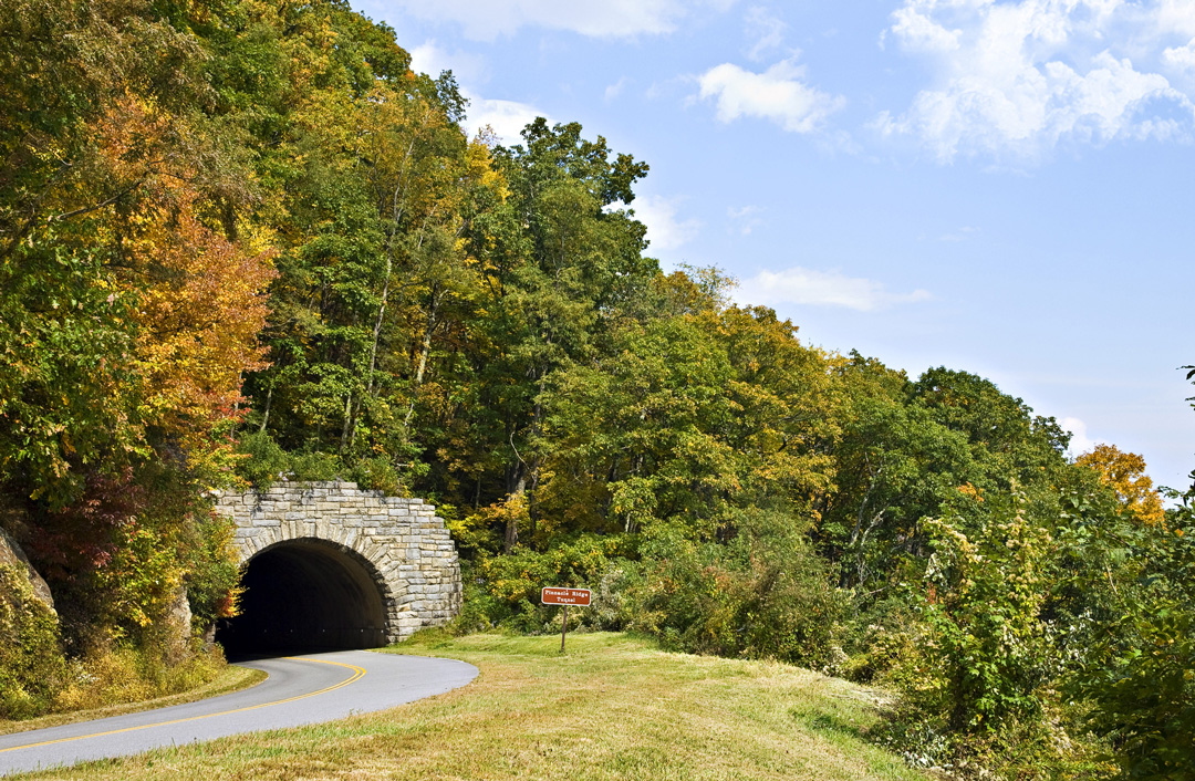
This 14-mile one-way gravel road goes by two names—Heintooga Round Bottom Road and Balsam Mountain Road (open May-Nov.)—but they’re one in the same. Accessed from Blue Ridge Parkway milepost 458.2 (just a few miles from the Cherokee, NC, entrance), this is an often-overlooked road through a high and wild part of Great Smoky Mountains National Park. In the spring and summer you’ll find wildflowers blooming, and in the fall you’ll find the road awash in color. The drive takes a little more than an hour from the Blue Ridge Parkway back down into Cherokee; as off-roading experiences go, it’s an easy one. The road is well-maintained and generally in good condition, but don’t try it in your low-clearance rental or the family minivan. You’ll be fine in a truck, or even a small SUV.
Roaring Fork Motor Nature Trail
5.5 Miles
The 5.5-mile Roaring Fork Motor Nature Trail (open Mar.-Nov.), just a few miles from the heart of Gatlinburg, has everything Smoky Mountain visitors are looking for: rushing creeks, waterfalls, hikes, historic structures, and plenty of photo opportunities. This one-way road stays busy, but is seldom bumper-to-bumper, though some of the parking areas may make you feel differently. If you’re looking for an easy drive with some short walks to homesteads and waterfalls (which make them perfect for those with mobility difficulty), this is the one you need. Head there just after a rainfall to see a roadside waterfall called Place of a Thousand Drips.
Foothills Parkway
17 Miles
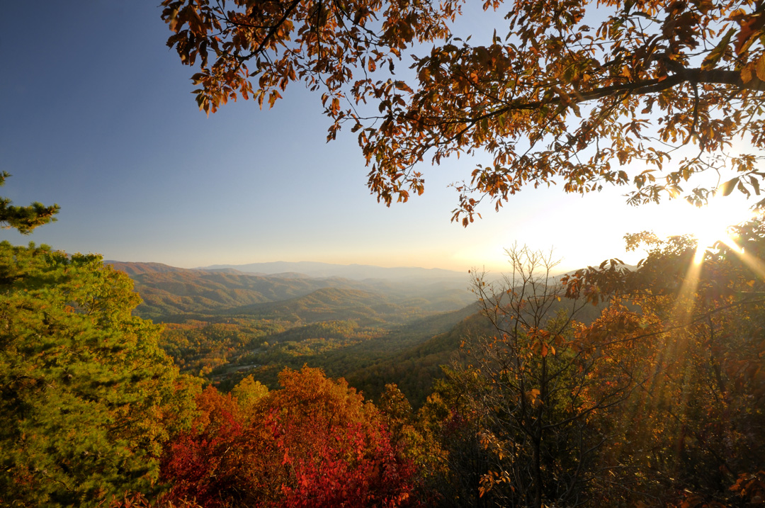
It’s not technically in the park, but the Foothills Parkway is a great scenic drive that gives you high-elevation views without the same traffic on more popular routes in the park proper. The Foothills Parkway is 5.5 miles from Townsend, reached via U.S. 321. The 17-mile road has plenty of places to pull off to picnic or take in the view. There’s one short hike here at Look Rock, a 0.5-mile stroll to an observation tower. There is a second, northern, section to the Foothills Parkway, running 5.6 miles from Cosby to I-40 near Denton, Tennessee. A long stretch in the middle—some 30-odd miles—has been lingering in the planning stages for years; this section would connect the Foothills Parkway and provide visitors with another way to enjoy Great Smoky Mountains National Park
Recommended Travel Guides
About the Author
Though Jason Frye calls the coast of North Carolina home, his heart is with the mountains. Born and raised in the rugged Appalachian foothills in southern West Virginia, he developed an affinity for hiking and exploring the woods, coves, and hollows of the hills. His family vacationed in Great Smoky Mountains National Park.
His love for this landscape deepens with each visit. Jason and his wife Lauren spend as much time as possible exploring the outdoors: wandering the woods and wilds, kayaking the marshes and waterways, and even hang gliding.
Jason is the author of several Moon guidebooks, including Moon North Carolina and Moon Blue Ridge Parkway Road Trip. He also contributes to Salt magazine, AAA Go!, Our State and Our State Eats food blog, the Wilmington StarNews, where he is a features contributor and dining critic, the Raleigh News and Observer, the Charlotte Observer, the blog of Virgin Atlantic Airlines, and a number of other print and online publications
