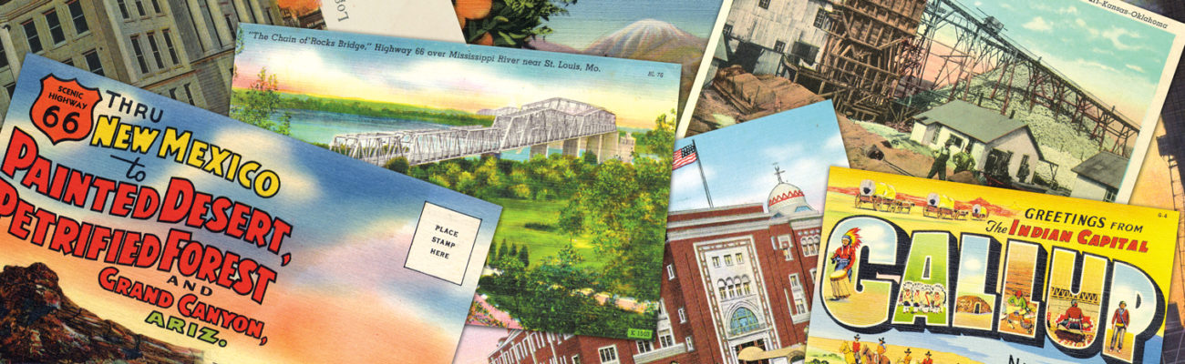
Old Route 66: Stroud
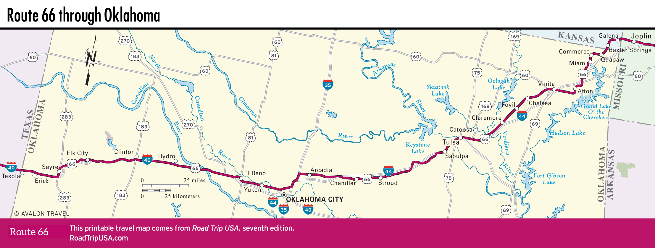
Between Sapulpa, on the suburban fringes of southwest Tulsa, and the next main stop, Chandler, old Route 66 zigzags back and forth along the freeway for the next 50 mi (81 km). Near the east end of this stretch, 2 mi (3.2 km) west of Sapulpa, the 1924 Rock Creek Bridge is a reminder of what the old roads were really like: 120 ft (36 m) long yet only 12 ft (3.6 m) wide. The truss is rusty, and the bridge has been closed to vehicular traffic several times over the past few years because it hasn’t passed inspection, but the bridge still stands as a proud reminder of the original 1920s Route 66. Across the bridge is another evocative reminder: an abandoned drive-in movie theater, long closed but with the screen and the fan-shaped parking lot still intact.
Continuing west, old-roads fanatics will probably want to follow the winding alignment of Route 66, which continues along the south side of the turnpike for nearly 40 mi (64 km). On the west side of Stroud (pop. 2,711; “Home of Daneka Allen, Miss OK 1999”), check out the Rock Café (114 W. Main St., 918/968-3990), a Route 66 relic built in 1939 out of local stone quarried when the original highway was cut in the 1920s. The Rock Café (which had a restroom that featured original graffiti by Toy Story creator John Lasseter, who modeled some scenes in his Route 66 movie Cars on the Rock Café’s inimitable architecture) suffered from a fire in 2008 but got back up and running in no time and still churns out its better-than-average roadside fare. Stroud also has the classic old Skyliner Motel (717 W. Main St., 918/968-9556, $70 and up).
Travel Map of Oklahoma
Related Travel Guides