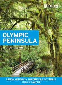
Kalaloch and Lake Quinault
Kalaloch and the Pacific Beaches
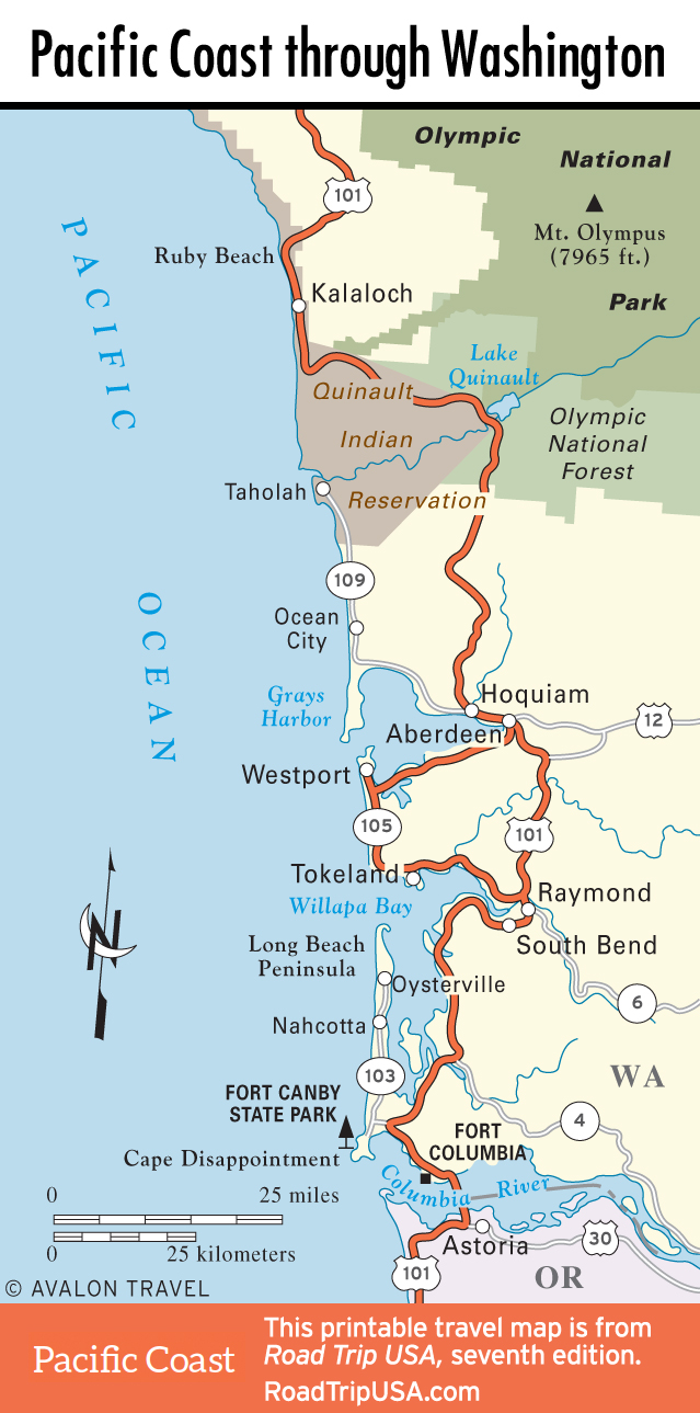
Looping around the northern Olympic Peninsula, US-101 finally reaches the coast 27 miles south of Forks at Ruby Beach, where wave-sculpted sea stacks frame a photogenic driftwood-strewn cove. From Ruby Beach, US-101 runs south through the wild coastal section of Olympic National Park, which is almost always foggy and cool, even when the weather is sunny and hot just a mile inland. While almost the entire coast south from Cape Flattery is protected within the national park, this is the only easily accessible stretch. Parking areas along the highway, numbered from Beach 6 to Beach 1 north to south, give access to 20 miles of generally deserted beach, backed by rocky bluffs and packed with tide pools, driftwood castles, and an incredible variety of flotsam and jetsam.
At the southern end of this short but sweet stretch of coastline, between Beach 2 and Beach 3, about 25 miles north of Lake Quinault, Kalaloch Lodge (866/662-9969, $173 and up) is a modern resort with a coffee shop and a nice restaurant overlooking a picturesque cove. There’s also a gas station, a summer-only ranger station across US-101, and an ocean-side campground just to the north.
Travel Map of Olympic National Park
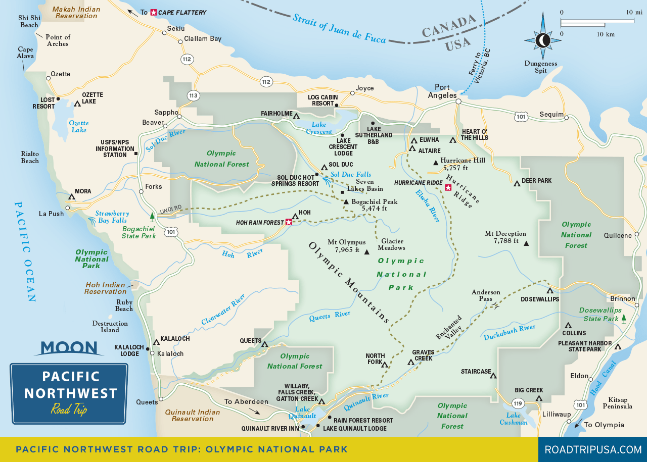
Lake Quinault
Spreading in a broad valley at the southwest corner of Olympic National Park, Lake Quinault offers lush rainforest groves within a short walk or drive of most creature comforts. The lake has served for decades as a popular resort destination—cabins, lodges, and stores dating from the 1920s line the southern shore, just outside the park boundary. The old-growth forests here have survived intact, though the naked tracts of clear-cut timber along US-101 north and south of the lake give a good sense of what the area might have looked like had Teddy Roosevelt and friends not stepped in to protect it around the turn of the 20th century.
Before or after the hike, stop at the U.S. Forest Service ranger station (360/288-2525) on the south shore, where you can get details of the other excellent hikes in the Lake Quinault area and pick up a map of the guided driving tour around the lake, including the location of the many record-size trees. The roughly four-mile-long Quinault Loop Trail winds on a path from the ranger station along crashing Cascade Creek up through an old-growth rainforest of alders and big-leaf maples, which have leaves that can grow upwards of 12 inches in diameter and provide some splendid fall color. Midway along, the trail crosses a raised wooden boardwalk through a fecund cedar swamp, then drops down again along another creek before returning by way of the lakeshore.
On the lakeshore right next to the ranger station, historic Lake Quinault Lodge (360/288-2900, $154 and up) is well worth a look, with a rustic but spacious lobby opening onto lakefront lawns, though the rooms could do with some TLC. The Rain Forest Resort Village (360/288-2535, $99 and up), at the east end of the lake, besides offering comfortable and reasonably priced accommodations (from camping to cabins) and good food in the Salmon House Restaurant, also holds the World’s Largest Spruce Tree, a 191-foot giant.
Travel Map of the Pacific Coast through Washington
Related Travel Guides